
On an unusually warm Sunday in late February my husband,
daughter and I decided it was time for another neighborhood visit. A day
earlier the city had been hit hard with storm gale force winds, causing
widespread damage. Debris was littered everywhere. Service was still not fully
restored to the downtown L trains. Likewise, buses were unusually crowded. We
decided to stick close to home.
One of the biggest challenges doing my project is finding
neighborhoods which look decent in photos during bleak winter days. Most places
look best when lawns are green and flowers are in bloom. I’ve tried to cover
the communities with the least amount of greenery during the coldest months. I
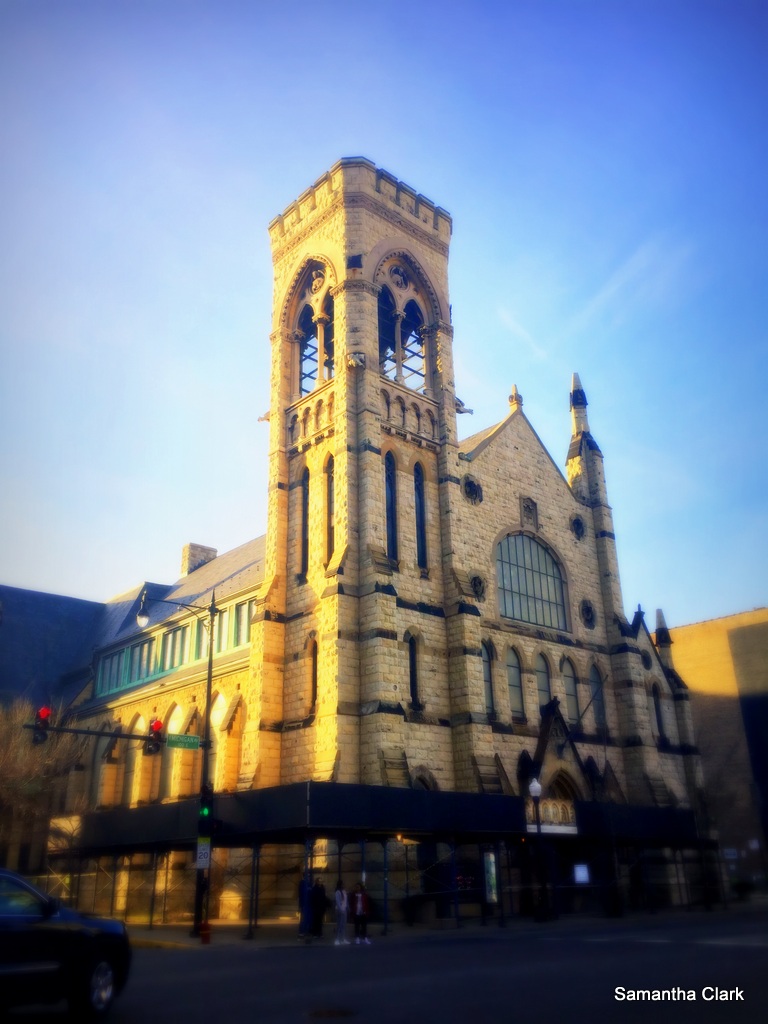
picked South Loop to walk. The area is a dense mix of former wealth and extreme
segregation, along with former industry and an abandoned red light district,
without much landscaping.
Another challenge is figuring out the boundaries of the
community areas. Chicago is one of those cities where dividing lines don’t stay
put. For my previous neighborhoods I have relied on The Chicago 77 by Mary
Zangs as my guide. I purchased the book at the Chicago Architecture Foundation,
figuring they would have the most accurate information.
South Loop is a rapidly changing area. New skyscraper
residential buildings have sprung up in what was historically the less
desirable South Side. Zangs’ book lists the South Loop as stopping at Roosevelt
Ave, where the Near South Side starts, as two separate neighborhoods.
The suddenly fashionable community south of Roosevelt Ave has
been rebranded as part of The Loop rather than the South Side. The other guides
I consulted, and Google Maps, show South Loop overlapping the entire Near South
Side, with one exception—the shore line. The community area south of Roosevelt Ave
has almost no access to the lake front. The lake shore, Museum Campus, and
Northerly Island are separated from the residents by both freeway and railroad
tracks.
While many of the sparkling new high rises have views of the
lake, it’s a long hike for most residents to walk there. Otherwise it seems
like a pleasant neighborhood, if still a bit rough around the edges. I was also
surprised how few restaurants and retail services are available in such a
densely populated neighborhood.
Rents have increased, particularly with the construction of
newer luxury buildings, although the prices are still considered a bargain
compared to similar buildings on the North Side in and around downtown.
We started our tour on the eastern side of the neighborhood
from Museum Campus. The walk was enjoyable because townhomes line the
sidewalks. I didn’t feel walled in by the high rises, like I did when I visited
downtown Miami. Families gathered in parks and along the sidewalks.
We wandered across the Clarke Museum, a small white home in
the middle of a compact park. Built in 1836 it’s fabled to be the oldest home
in the city. Nearby is the Prairie Avenue Historic District, which once housed
the wealthiest citizens after the Great Chicago Fire. A few of the mansions still
remain.
We headed over to the western side. The area isn’t as good
for walking. Some buildings remain abandoned and there is little to stop and do
along the way. We passed blank areas of unapproachable landscaping and a large
gated community near a freeway underpass.
We planned to grab an afternoon coffee. But as we reached
the northern edge of the Near South Side by Roosevelt Ave the shops had long
lines out the door. We ventured a bit further north to a diner. We sampled the
difference between a traditionally grated potato latke versus a new improved
version with pureed potatoes. The pureed latke reminded me of fried mush I’d
eaten as a kid in NE Ohio. After potato overload we headed for home.


No comments:
Post a Comment